Home
Activities
Parks
Residential Developments
Business/Industry/Agencies
Governance
Locate and Contact Us


Pleasure IslandTX

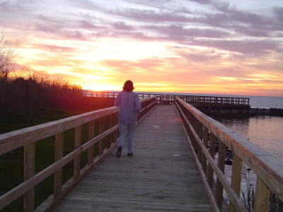
Port Arthur's Pleasure Island, an 18.5 mile long man-made body of land, extends from the mouth of the Neches River on the northwest to the Sabine Causeway on the southeast and is surrounded by Sabine Lake and the Sabine Neches Intracoastal Waterway.

Pleasure Island is a place of beauty.  Its hills, bluffs, and vistas of Sabine Lake are a delight and pleasure to those who visit.  Pleasure Island is where the fun begins!

Sailing | Golfing | Fishing/Crabbing/Boating | Hiking/Biking | Birding | Disc Golfing | Camping


Interesting Facts about Pleasure Island
Pleasure Island is a part of the City of Port Arthur; however, by vote of the citizens in 1986, it is controlled by nine commissioners, each of whom is appointed by a City Council member.  The Commission holds broad regulatory powers over the Island under the City Charter.

Hiking and Biking on Pleasure Island

Hiking and biking trails await the outdoor enthusiast.  Beginning on T. B. Ellison at Lake Front Park, the trails follow the roadway north on T. B. Ellison to Pleasure Pier Blvd.  Turning right on Pleasure Pier Blvd., the trail continues past Port Arthur Yacht Club, the Pleasure Island Commission Office, and the Pleasure Island Condos.  The next leg, a boardwalk along Sabine Lake, connects the condos to the RV park on the South Levee Road.  At the fork on the levee, hikers and bikers can take either the northern or southern route to return to Lake Front Park. 

Hikers and bikers also can be seen along both the north and south levee roads.  Enjoy!

Photo Gallery